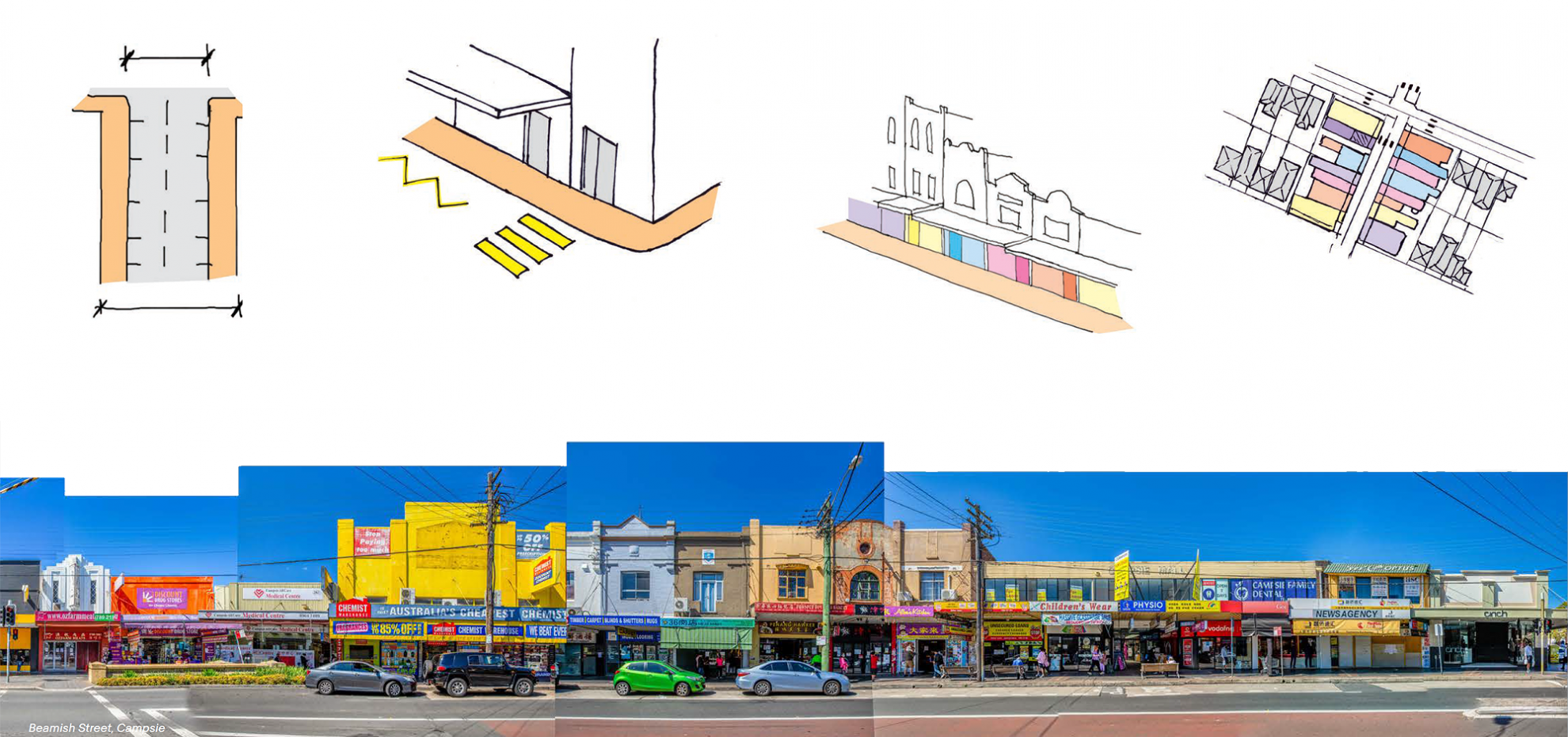
Mapping Sydney’s High Streets

COX has collaborated with the Committee for Sydney on the research piece ‘Mapping Sydney’s High Streets.’
Throughout our research we mapped and analysed 120 streets, observing what currently works and doesn’t work, laying out implications and directions for future study.
We see this report becoming a resource to be used to research, examine, protect, celebrate, and nurture high streets as centres of neighbourhood life across Greater Sydney.
This report builds on the Committee’s previous work, ‘Reclaiming Sydney’s High Streets.’ It identifies many of the high streets in Sydney, bringing them together and putting them on a single map for the first time.
It is a research project and a labour of love, intended as a living document which we hope people will add to and improve over time. We have done more than locate each street on the map; we have also built a database of the key physical characteristics of each street, and we have used our best judgement to suggest a rating for each street — from pedestrian-only, great, good, compromised and poor, to highly degraded.
Read the full report here: